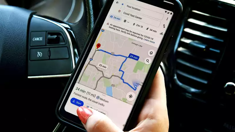
The long-awaited Google Maps update has finally arrived for users First discovered by some users earlier this summer, Google Maps now identifies intersections with traffic lights in certain cities, providing additional useful information while traveling
The change was actually noticed by Droid Life back in July, but as is usual with Google's app updates, this was rolled out server-side, so users received it at different times in mid-August, Google posted an update to the Keyword blog, talking about various additions to the Maps experience, but curiously this was left out
The icons themselves are fairly simple and bare bones For example, the icons do not animate, so one cannot know what the signal is before finding it Furthermore, you have to zoom in very close to the map to even see it in the first place
Ultimately, all you really need to do to see a traffic light is to pinch to zoom in as Android Police points out, the icons are not stored in a traffic layer, so whether you are using navigation or simply browsing they should always be displayed alongside road and place name data
It is worth noting that Apple Maps has been doing this for quite some time, and until now, it apparently stood as one of Apple's few advantages over Google's more informative and feature-rich platform that has been around much longer A survey of our own Android devices reveals that many of them display traffic signals
As for other updates, in August Google shared that Maps now depicts sidewalks, pedestrian islands, and crosswalks London, New York, and San Francisco have been identified as the first cities to receive these features, with others to follow in due course


Comments